hiking routes
Walks & Hikes
adventure playground
Route length: 1.5km Elevation gain: 10m Equipment: -
A short walk to the nearby forest playground is ideal for families with children. The adventure playground Kaier is located at the edge of the forest at the end of Ulm. He is particularly enthusiastic about the pirate ship and a small stream that invites you to play, especially in summer.
The route is paved, easily accessible and also suitable for prams. At just 10 meters in altitude, it is manageable even for the smallest guests.
Small round
Route length: 2.2km Elevation gain: 30m Equipment: -
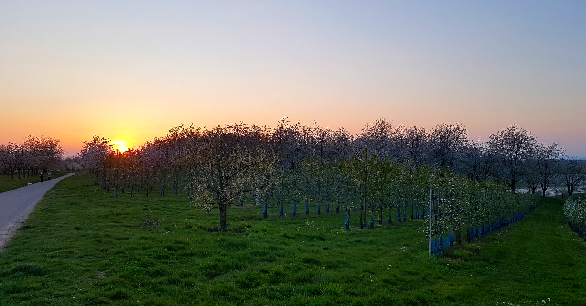
The small round is a short, easily accessible circular route through the orchards between Mösbach and Ulm. The path leads over paved dirt roads and is accessible for prams. Cherries, apples, pears and many other types of fruit grow to the left and right of the path. Some fields can also be seen from Lochhof.
Kutzenstein
Route length: 5km Altitude difference: 170m Equipment: sturdy shoes
The Kutzenstein is a legendary place at the edge of the forest. The legend says that the devil wanted to prevent the construction of the Waldulm church and therefore wanted to smash it with rocks. The attempt failed and the granite rocks still bear witness to the story. On the 10m high rocky hill there is a small viewing platform, which can be reached via a small ladder.
The hiking route starts directly above the Rebhüsel and leads through the forest to the Kutzenstein. From there it goes with a beautiful panorama through the vineyards back into the valley and along orchards back to the Lochhof.
Dreikirschenweg
Route length: 14km / 19km Elevation gain: 190m / 350m Equipment: hiking boots
The Dreikirschenweg is a popular route through the orchards in and around Mösbach, which is well signposted by the Black Forest Association. It is known as the longest designated hiking route in the region and is particularly impressive because of the apple, pear and, of course, cherry orchards along the way.
The Dreikirschenweg can be hiked as a small loop of around 14km or in the long version of around 19km. You can find more information on the website of the Black Forest Association. In addition, guided hikes are offered by the local administration - please do not hesitate to contact us.


